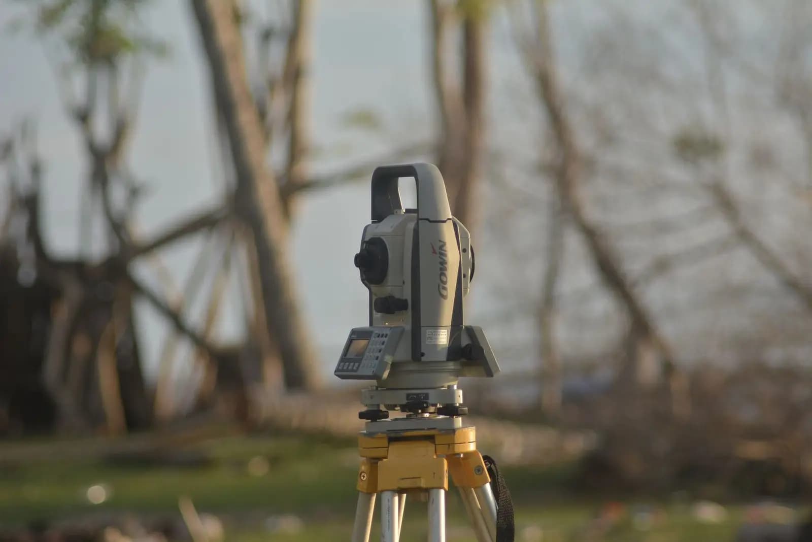
A total station survey instrument on its tripod
Services/Survey and field services

The paper has to match the ground.

Boundary, ALTA and route survey, corner recovery and site walks, delivered by your Impact project team.

05 · Survey and field services

Lenders, buyers and agencies all ask the same question in the end: does the record describe the ground you are building on. Survey answers it, and so does someone who has walked the site.

We bring survey and field capability to every project: the ground walked, surveyed and filed against the parcels it covers.

What you hold at the end

Site walks

Access, drainage, existing use and anything the record does not show.

Boundary and ALTA survey

For acquisition and for financing, signed and stamped by a licensed surveyor.

Route survey

Corridors stationed and surveyed for easements and construction.

Corners recovered

Section and property corners found or set, and tied to the record.

How it works

Four steps, one team.

  1. 01

    Walk

    The ground walked, and anything the record misses written down.

  2. 02

    Scope

    The survey the project and its lenders need, scoped by us.

  3. 03

    Survey

    Fieldwork delivered by your Impact project team, every plat signed and stamped by a licensed surveyor.

  4. 04

    File

    Plats and field notes filed against the parcels they cover.
When to bring us in
  • Before closing on ground
  • When financing needs an ALTA survey
  • When a corridor needs to be stationed for easements
Who does the work

Survey and field services are delivered under one Impact project team, and every plat is signed and stamped by a licensed surveyor.

By industry

Survey and field, industry by industry.

  1. 01

    Energy

    ALTA surveys for financing, boundary and route survey, corner recovery and site walks.

  2. 02

    Data centers

    ALTA surveys for financing, boundary survey and site walks.

  3. 03

    Real estate

    Boundary and ALTA surveys, corner recovery and site walks.

  4. 04

    Infrastructure

    Route survey stationed mile by mile, corner recovery and field reconnaissance.

A rural valley near Spanish Fork, Utah, at dusk, a road running toward the mountains

Ready to move
your project?

Tell us where it is, what it needs and when. We will come back with who would work on it and what we would do first.

Start a project